
Opinion: Unearthing farm history can become addictive
 © Adobe Stock
 We’re first-generation tenant farmers and can only thank our luck that we saw off some far more impressive competitors to be granted the tenancy of a fantastic farm on the clifftops of east Devon.
I’m not overly interested in the past, but we all give the odd thought to the history of our land and the people who worked it before us.
No doubt if you are the 10th generation on the same farm then you have a teeming archive of family folklore to refer to. All we had were some slightly dubious stories down the pub.
See also: Opinion – full marks for educational access option
About the author

Occasionally intrigued by a line in a field or the obvious footprint of a long-forgotten building, I started looking things up. It’s actually incredibly easy.
Most county councils have a freely available online “environment viewer” showing pretty much anything that ever happened in every field, from the discovery of a flint arrowhead to the site of a Roman villa.
If you’re considering a Countryside Stewardship application, some of this stuff can be really useful.
You can also view the map in layers, from the past few years’ satellite photos to the tithe maps of the 1840s. These early surveys also link to the tithe documents and the original field names.
It’s intriguing to see how nomenclature has become corrupted in the intervening two centuries – like a game of Chinese whispers down the generations.
If you farm on top of some famously crumbling cliffs, the RAF Aerial Survey layer from 1946 can help assess the longevity of various rock formations and possibly provide a crumb of reassurance to the late night clifftop tractor driver.
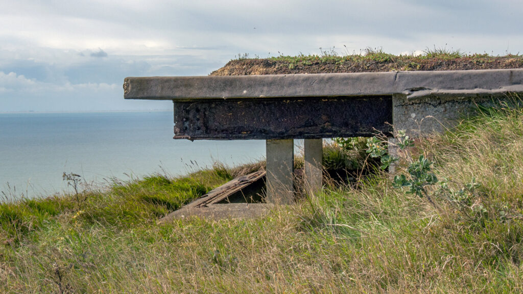
When we viewed the farm, an obvious feature was the shell of a derelict wartime observation hut looking straight out across Lyme Bay.
Keen to find a use for this building, we put on a roof and some windows, kitted it out quite comfortably and let it to walkers on the South West Coast Path.
One faded sign and some local rumours told of how this insignificant structure was once some sort of firing range, but nobody seemed to know much more than that.
One rainy day I typed a few words into Google and discovered that the war diary of the hut’s original occupants was listed in the National Archives at Kew.
For a modest fee, this remarkable document was scanned and sent over, telling the story of a renowned Cambridge professor sent here in 1941 to develop a revolutionary aircraft gunsight.
He did this so successfully he was knighted and given a Congressional Medal by the Americans for shortening the war.
His son had been his research assistant and now, age 101, writes me long emails about his time here with his father, attaching photographs and information so we could make a sign to celebrate the memory of a great scientist and educate passers-by about this small slice of local history.
Be warned, though – this kind of stuff can become addictive. Last Friday when I dropped in the pub, an aged savant was telling tales of the lost smugglers’ tunnels under the cliffs.
If my next opinion piece is replaced by the words “Sam Walker is away” I’d be grateful if you could send someone round with a couple of terriers, a long rope and a torch.