CAP digital mapping 2015 service gathers momentum

The new CAP digital service 2015 will be rolled out in a series of phased releases to reduce risks and avoid impacts on current agri-environment schemes and payments.
The first release will be rolled out to about 100 farmers this July when they will be asked to look at the new system to check personal and business details.
This will be an ongoing process expanding the service to all customers by the end of the year, said a spokeswoman for the Rural Payments Agency (RPA).
Up to 300 IT analysts are currently working on the new system to have it ready in time for the new Basic Payment Scheme (BPS) in England in January 2015.
“The new system is being built using Agile methods, which involves the regular release of working software rather than a more traditional approach involving a long period of work followed by a single ‘big reveal’,” said an RPA spokeswoman.
“The Agile approach has a number of advantages, including cost reduction, reduction of risks as problems can be solved as soon as they become visible and faster delivery of a working system.”
Under the new system, every customer who uses the service will be given a unique reference number, which will be registered by the system.
Farmers and landowners will be able to identify an agent by entering their reference number and giving them specific permission to access the system and changes details, including digital mapping or parcels of land.
“We are increasing security and we want to get away from this sharing of passwords and log-on details,” said Ali Rawashdeh, of the CAP Delivery Programme.
“The system needs to know exactly who you are to interact with you.
“We know that many farmers employ agents or get family members to carry out applications on their behalf. We wanted to make sure we could reflect this in the new system.”
Read also: RPA extends digital pilot to 1,000 farms
Online updates
Feedback from customer testing will be used to help build the list of permissions, added Mr Rawashdeh, a managing consultant at Kainos, the Belfast-based IT software company appointed to develop the new CAP Service.
He added: “The new system can be used throughout the year to record all updates to the land as you go, so that when you get to the application window it should be a very straightforward process to apply as your land will be up to date.”
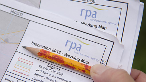
Currently, if a farmer wants to record a new feature under the paper system, the Rural Payments Agency (RPA) sends him a map. He has to draw the feature on the map and submit it.
The new system will eliminate this process, as customers will be able to update their maps online.
Jo Broomfield, director of the CAP Delivery Programme at DEFRA, said adopting a phased development approach to the new service would hopefully eliminate the errors of the single farm payments system in 2005, which was dubbed a disaster by the industry.
“We will need to collect more information from customers the first time they move to the new schemes, but after that it should be an incremental process of updating as they go,” he added.
Other features of digital service will include:
“My Account” – Main sections, to view and amend personal details. Farmers can click on link and amend details online, such as address changes, phone numbers etc.
“Messages” – RPA will be able to notify customers by email when something of interest has happened. SMS notification texts may be developed in future.
“Search” option – If farmers know a parcel reference number, they can search for it quickly. Enter the reference and you will be taken straight to it.
“Land option” – This takes users to map view. To include different zoom levels, a cluster of different land parcels. Farmers will be able to click on different land parcels to adjust mapping details.
Ordnance Survey map layer/aerial photography options – Zoom in and out of land parcel, which will be highlighted in red. If users zoom in further, they will see partial map references.
“Table view” – For farmers who prefer to use a table to find a specific land parcel and check information on specific land parcels.
“Show Land Details” – This lists all land parcels in a table. Farmers can enter references to specific fields. By clicking on parcels, farmers will be able to jump to different maps.
A list of businesses – Some farmers have many farms. Farmers will be able to view and amend details to individual businesses. Farmers will be able to click on business details and edit them online.
