Interactive map offers swine flu tracker
 © Ceva
 Farmers and vets can track swine flu across Europe using a new interactive map.
This will help them make correct diagnoses and decide on appropriate prevention and vaccination programmes, according to Kathrin Lillie-Jaschniski, a specialist vet with veterinary health company Ceva, which developed the service.
The map shows the development of strains of influenza detected on pig units in 14 European countries including the UK. Information can be broken down by region and is updated quarterly. Individual farms are not identified.
See also: Common signs of illness in pigs and tips for treatment
“Evidence that classical and pandemic strains of flu are occurring in a particular region gives a strong signal that vaccination should be considered,” says Dr Lillie-Jaschniski. “Pandemic strains can also spill over from pigs to humans and vice versa, so there is a public health aspect, too.”
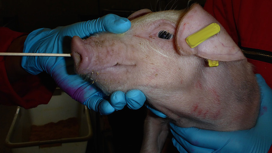
To detect the virus, samples such as nasal swabs, oral fluids and lung tissues are taken in herds with acute clinical signs of flu, or those with persistent respiratory or reproductive symptoms, and analysed in laboratories.
“Apart from the health aspect, swine flu can have serious economic consequences for a pig herd, especially if other respiratory infections are present,” she says.
“One French survey showed the cost of an outbreak in gilts was as much as €16 a gilt [£14.16], while another study from Sweden calculated a loss of €77 a sow [£68.14].”
You can find the Dynamic swine flu map on the Ceva website.
