
Maps showing hidden farm hazards can help save lives
Farmers are regularly advised to “look up” as part of their farm safety protocols, but they should pay equal attention to what is going on beneath their wheels, according to cartographer and Hampshire farmer Anthony Pelly.
His company, Rural Maps, has been producing detailed maps for a range of different farms and estates throughout the UK and further afield for seven years.
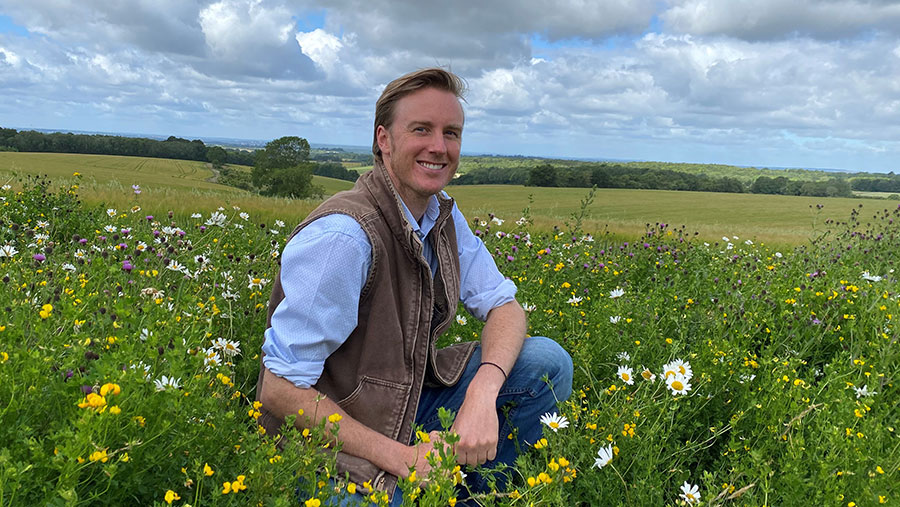
Anthony Pelly
See also: Find all our health and safety content in one place
Initially, they were mostly decorative – recreating some of the fine farm and estate maps of old, while using digital technology to ensure their accuracy.
But they have increasingly taken on more functionality, incorporating essential farm data and cropping plans, while adding details designed to reduce accidents.
Hazards
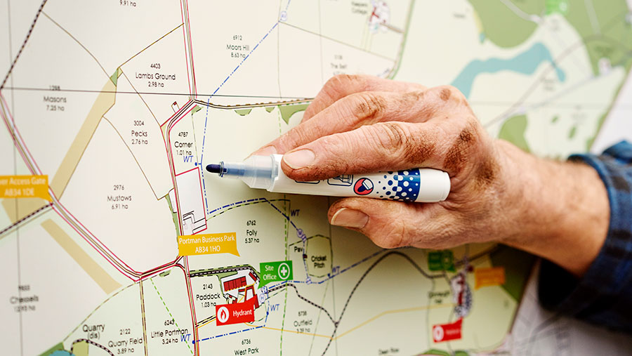
For example, the Land Use, Utilities and Hazards maps help identify the location of sunken fuel pipes, water mains or sewers, or maybe phone lines, fibre optic cables and electricity lines.
Other key elements include the siting of first aid boxes, local defibrillators and fire-fighting points, as well as essential contact numbers, designated evacuation locations and instructions on how to call for help.
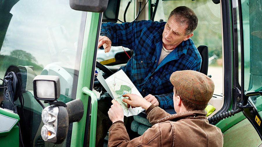
“They are designed to help in an emergency,” said Mr Pelly, recalling one incident where a local farmer hit an overhead powerline which landed on his tractor cab, trapping him inside.
“He was unable to jump clear but, having a bespoke map in the cab, he was able to call the emergency services and give his precise location. The fire brigade arrived, just as the stubble around the tractor was starting to ignite.”
‘All in one place…’
Creating the maps can either be done by scanning and digitising old farm maps sent in by farmers, or the company can access the Rural Payments Agency and Ordnance Survey to collect the mapping data that way.
Often the maps sent in will have some underground features included, but they may not be accurate or complete, which can present a serious health and safety risk.
“It’s not much good if that buried electricity cable is 10m away from where you think it is,” said Mr Pelly.
“We therefore have contacts with many of the utility companies and get them to do a whole area search for us, which provides a much more comprehensive picture.
“The big advantage is that we can get information from so many sources – water companies, electricity companies, phone companies, fuel companies – and all this can be placed on one map.”
This can either be printed on tear-proof material for use in the field, produced as a wipeable board for the farm office or workshop, or as a PDF which can be viewed on a mobile phone or tablet.
The maps can also play a part in meeting farm assurance scheme requirements to have an emergency plan in place.
Case study: Richard Thomas, Trevear Farm, Penzance, Cornwall
One farmer who has invested in the Land Use, Utilities and Hazard maps is Richard Thomas, who runs about 500ha of owned and tenanted land over three main plots near Lands End.
Farming activities include dairying, beef, cereals, forage crops and potatoes, and the enterprise currently employs eight full-time workers, with up to 25 part-time, as well as contractors.
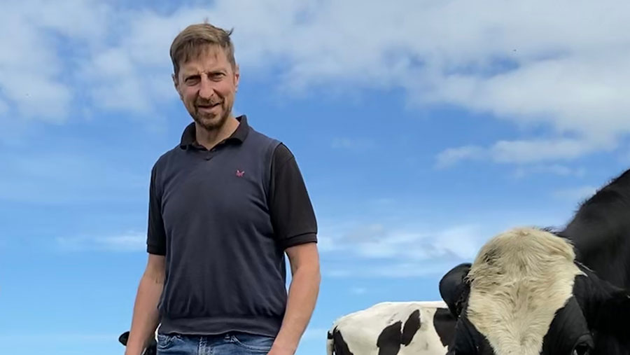
Richard Thomas
“Our land is situated in three main blocs and we have more than 200 individual fields, with a small average field size,” he says.
“We invested in maps, both from a farm safety and farm management point of view. We have several sets, including on the farm office wall and in the tractor cabs.
“It means when we take on new staff, or hire contractors, we can go through with them in detail which fields they should be working in, what the hazards might be – for example, where there is steep land and where there are power cables – as well as all the information they might need should they have to contact anyone in an emergency.
“It gives us peace of mind and encourages staff to think about health and safety.”
The maps also form part of the farm’s risk management plan, as required for Red Tractor assurance.
“This is becoming a bigger part of farm assurance,” says Mr Thomas. “I believe we are ahead of the curve and have achieved this in a reasonably cost-effective way that is tailored to our needs.”