
Satellites to build farming’s first UK digital cropping map
 © Rex/ Shutterstock
 The first ever digital map of the UK’s cropping areas has been made using satellites, as part of a long-term environmental study.
Researchers at the Centre for Ecology and Hydrology (CEH) have been working with with Remote Sensing Applications Consultants (RSAC) to produce “Land Cover plus: Crops”.
The project combines the CEH’s existing UK land cover map with new analysis of radar satellite data to map arable crops and grassland at field level.
See also: Herbicide-tolerant sugar beet being trialled in UK
Over the next three years crop maps will be updated annually to build up rotational cropping information for the whole of the UK.

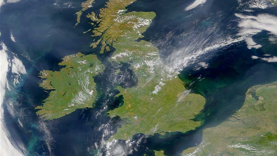
350 images were used to produce this map
The scientists behind the programme hope it will bring a range of potential applications, including analysis of crop rotations and changing cropping patterns, as well as uses in catchment-sensitive farming, wildlife conservation and the potential evaluation of crop diseases.
It fits into a wider research project which uses Sentinel radar satellites for continuous monitoring of the earth’s surface.
Daniel Morton, the lead scientist on the project, said the project presents many exciting research and business opportunities.
“This product follows a fascinating and successful body of research funded by Natural Environment Research Council (NERC) and Innovate UK and highlights the importance of the European Space Agency Sentinel programme,” he said.
