Free app to help growers with cropping for ELM scheme
 © Tim Scrivener
 Farmers are to get the first glimpse this summer of a new online tool which will help them decide cropping plans for a new “public money for public good” agricultural policy.
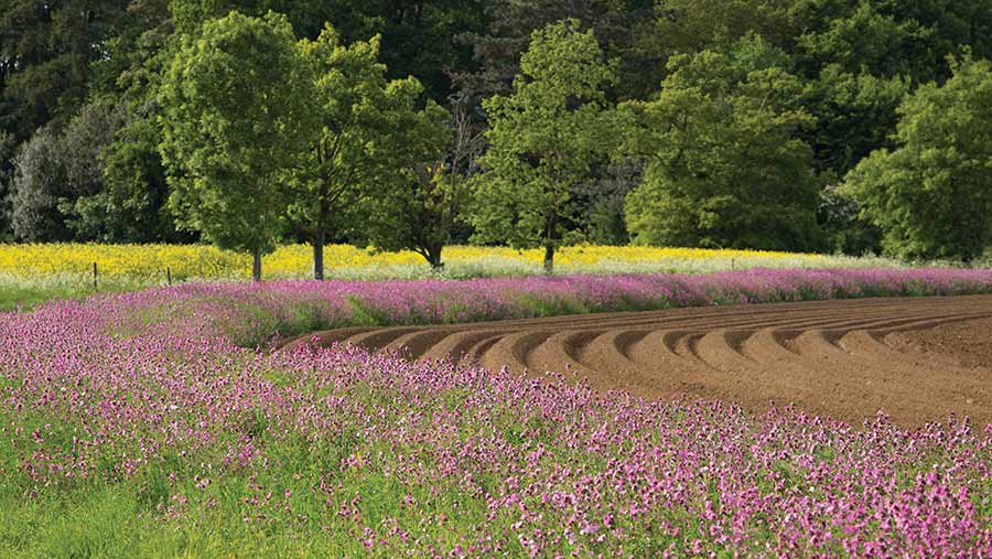
Scientists are working on the free mobile phone app, which will advise growers where best to sow wild flower strips, place grass margins, provide winter bird food sources or even plant trees.
The app will show maps of every British farm and all 2.4 million fields using a colour-coded system of red, orange and blue to show the best sites for each activity.
Richard Pywell, who is leading the research, says the aim is to give farmers the best advice for when the Environmental Land Management (ELM) scheme is rolled out from 2024 onwards.
“We are helping farmers develop the best for the land they manage in terms of alternatives to food production and efficient use of land,” he tells Farmers Weekly.
See also: How farmer groups can work together to get most from ELM scheme
New farm policy
Prof Pywell is heading the UK Centre for Ecology and Hydrology’s work for a future with a more environmentally-focused farm subsidy policy with spatial ecologist John Redhead, as farmers are expected to deliver an increasing range of environmental goals as well as produce food.
“Under ELM there will be goals of sustainability as well as good farming, so the new tool will help,” says Mr Redhead.
At present, two-thirds of the £3bn-plus farm subsidies are paid on an area basis, but as Britain finally leaves the EU and ELM is introduced, all support will be linked to environmental measures.
UK Centre for Ecology & Hydrology (UKCEH)

© Tim Scrivener
UKCEH is an independent research institute with 500 scientists working on environmental science to provide data for governments and businesses. The centre is based at four UK sites, Wallingford in Oxfordshire, Bangor in North Wales, Edinburgh, and Lancaster.
The new E-Planner tool will be shown off at the Cereals on-line event in June for farmers to test out, and the scientists hope to modify it to create a valuable and easy to use tool to help with the new policy.
The plan is to create a map of every one of Britain’s fields by plugging into the British Geographical Survey, giving details of soil types and slopes, habitats and watercourses.
These maps will be of the same resolution as those for precision farming systems used for varying the rate of seed and fertiliser, and will give farmers guidance over four key areas:
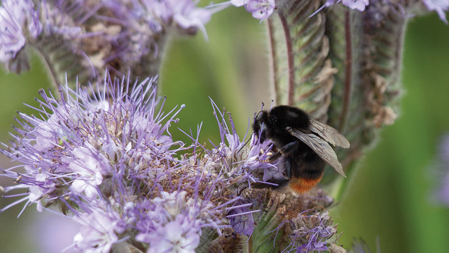
- Pollinator habitat The app will highlight south-facing slopes and lighter soils on individual farms, where pollinators such as bees will thrive best.
- Resource protection It will also be able to highlight steep slopes close to watercourses, and advise that these areas would be good for 6m or 12m grass margins or possibly growing cover crops, to avoid water run-off.
- Woodland creation The farm map on the app will highlight awkward corners of fields, possibly cold north-facing slopes where crop production has always been tricky, and advise planting trees and hopefully link up to other woodland areas
- Winter bird food It will also highlight where seed-bearing crops for winter bird food can be grown, likely to be on south-facing slopes away from watercourses in case heavy bird feeding leaves the soil bare and prone to leaching or erosion.
Complete maps
The idea is to model all this data into weighted maps showing suitability for these different environmental options, and then present the results on a farm scale in the web-based tool.
The work is all part of a six-year £12m Assist (Achieving sustainable agricultural systems) programme started in 2016 by the independent UKCEH and funded by the UK government.
The development of the E-Planner has taken the use of supercomputers and the crunching of masses of data to produce the field-by-field advisory web-package ready for public view next month.
Feedback sessions will then be held to refine the tool to make sure the scientists’ language has been translated into farmer-friendly information
The farmer will then simply click on their farm to see a map relating to the four parameters, such as pollinator habitats, with areas shaded from blue for the least likely to succeed, through to orange and red for the most suitable.
Prof Pywell says the next step will be to work with Defra’s ELM team and develop ELM pilot schemes.
See the E-Planner in action at Cereals LIVE
The Assist Environmental Planner (or E-Planner), the free web-based tool for mapping environmental opportunities on British farms, will be demonstrated at the Cereals LIVE 2020 online event, to be held on 10 and 11 June.
For more information on the event and to register, go to www.cerealsevent.co.uk

