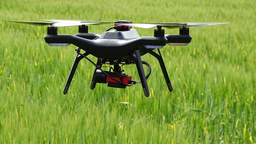
Drone weed mapping could help farmers target control measures
 © Hands Free Hectare
 Drone technology could allow grassland farmers to make cost savings on weed controls by pinpointing the areas where herbicides should be applied.
Dr Ivan Grove, a speaker at the Innovation Hub at Dairy-Tech, told dairy farmers that weed mapping was a tool with potential benefits for their systems.
Dr Grove, who works in Precision Agronomy at the Crop and Environment Research department at Harper Adams University, said infestation from weeds such as docks or nettles is mostly very localised in grass leys.
“Drones can be used to map where these are and this information can be imported into sprayers to apply herbicides only in the affected areas.
“It is only a matter of time before commercially available spray drones, once registered for aerial application in the UK, will apply the products.’’
See also: Step-by-step guide to controlling weeds in grass
If applications can be targeted more effectively, there will be cost savings and reductions in pesticide use with consequential environmental benefits, as well as more productive leys, Dr Grove added.
While drone technology has largely been developed around the arable sector, Dr Grove said there was good potential for its application in forage management, to the point where it could one day be used to predict the availability of grass for grazing and instruct the farmer how far to move a strip-grazing fence.
It could also give an overview of grass production and identify the poorer performing areas that need better management.
Dr Grove emphasised that the ownership cost of drones is not high but warned that farmers must be aware of the legalities of their use. “If there is a financial gain from using a drone, and if it is being used to improve grassland through weed control that would be the case, then a Permission for Commercial Operation is needed.’’
