
How satellite biomass mapping tech could optimise grazing
 © Tara O'Neill
 With traditional grass-measuring techniques limited in their flexibility, a new trial has shown that physical measurement and accuracy can be improved by using a combination of satellite technology and algorithms.
Livestock farmers have been key to the design of the digital pasture management tool, with more than 70 taking part in the two-year Pasture Optimisation for Resilience and Livelihoods (Pastoral) project.
The project was a collaboration between Innovative Farmers, Environment Systems, and the University of Edinburgh, funded by Innovate UK as part of the Farming Innovation Programme.
See also: How a beef farm extended grazing season by two months
The aim of the trial was to use satellite data from both optical and radar sources in a novel way, combined with algorithms, to deliver a platform for farmers that generates weekly data on grass biomass levels and carbon budgets.
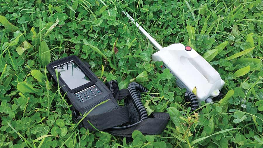
The subsequent model estimated grass biomass availability on a kg dry matter (DM)/ha basis at field level, and was calibrated with in-field plate metering.
Preliminary results look promising, says Dr Tara O’Neill, Pastoral engagement officer at Environment Systems.
“There are existing methods for looking at grass and crop growth, but a lot of satellite solutions use [only] optical imagery, which is what you get if you look at the Earth’s surface with a camera, and means that they can only see what is visible to the naked eye,” she says.
“But the UK has an awful lot of cloud cover, and if you’ve got a cloud over your field, you can’t see through the cloud to get an accurate [grass] measurement.
“What we were trying to do was combine optical and radar imagery.
“Optical imagery can see how much ‘green’ is in the field, while the radar can go through the cloud to get an idea of the depth of the grass.
“We wanted to see if combining them together with modelling, and pulling weather data into that as well, could provide a biomass monitoring service to provide regular data, whatever the weather was doing.”
Collecting the data
Participation in the project was open to all UK livestock farmers. Each of the 70 farms that took part submitted between five and 10 fields for monitoring.
Each week, they received an email containing biomass data (kg DM/ha) about the level of grass cover in the fields being monitored, explains Tara.
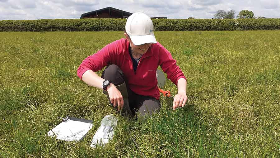
Collection of satellite data was strengthened by analysing results alongside in-depth fieldwork, she says.
“We’ve done a lot of fieldwork – looking at more than 170 georeferenced plots across the UK – and taken detailed measurements about how much grass was growing in the area.
“We then calibrated that back to the satellite imagery to check it was accurate. We’ve also compared it to rising plate meter data, collected by participating farmers.”
Tara O’Neill © Kate Still
Extended grazing in Somerset
Somerset organic farmer John Ker was among those taking part in the Pastoral project.
By using the technology, he has improved grass measuring and management, enabling him to extend his grazing period by almost eight weeks.
John farms 47ha (116 acres) near Wellington, where he runs a beef unit, buying in calves from dairy herds and taking them through to finish, largely on grass.
He also has a herd of 20 pedigree Dexters, which are raised for beef boxes. These cattle make use of some of the grazing land that is not suitable for the larger stock.
Grazing has always been at the core of production, but traditionally it was based on a set stocking approach, explains John.
“We had a very minimal rotation. The land is very heavy here, so stock were also housed between October and April – it was very low input, low output.”
Over the past five years, the farm has been working to transition to a better grazing system.
When the opportunity to become involved in the Pastoral project came up, it seemed like a good opportunity to accelerate this process, explains John.
“Essentially, I wanted to see if this [satellite technology] was something that would be viable for me.”
He says being part of the trial has helped him move from a visual-based grassland assessment system to one based on high-quality data, which has had multiple benefits.
Trial benefits
“One of the key things that has come out of the project was reinforcing my belief to cut silage slightly higher,” John explains.
“I did two [similar] fields side by side, and we cut them for silage at a similar time.
“But we cut one at the standard height the contractor has his mower set at, and for the second field, I got him to set it 3cm higher.”
John says there was a minimal yield difference between the two fields cut at different heights, but the mapping data showed that regrowth was faster in the field that had been cut higher.
With this information, he was able to approach the contractor to change the mower to the higher setting.
“So that is what we’re doing now – it’s all about trying to keep the grass healthy and growing.
“It [the detailed mapping] also gives me an instant glance at what the grass has been doing over a period of time, and where there might be issues arriving.”
John says this means he can adapt his management if needed, before small issues become big challenges.
“What’s more, you can look at data from across the year, which has actually proven to be more accurate than basing decisions on just how I thought fields performed.”
By using the data as part of the grazing management, John has been able to move to a more hybrid system – between mob and set stocking – and as a result, significantly extend his grazing period.
“Every bit of extra grazed grass I can utilise for the livestock is a cost saving, and an improvement on the margin of the business.”
As well as the improved margin arising from better grass growth, John believes soil structure and condition have benefited from the trial, too. This also helps with enabling cattle to stay out longer.
“It [the satellite data] is certainly a useful tool to aid the various things farmers are doing themselves to measure and monitor grass.”
Future feasibility
Continued testing and pre-commercial trials are being conducted with leading farming applications, and the service is expected to be commercially available in time for the 2024 growing season.